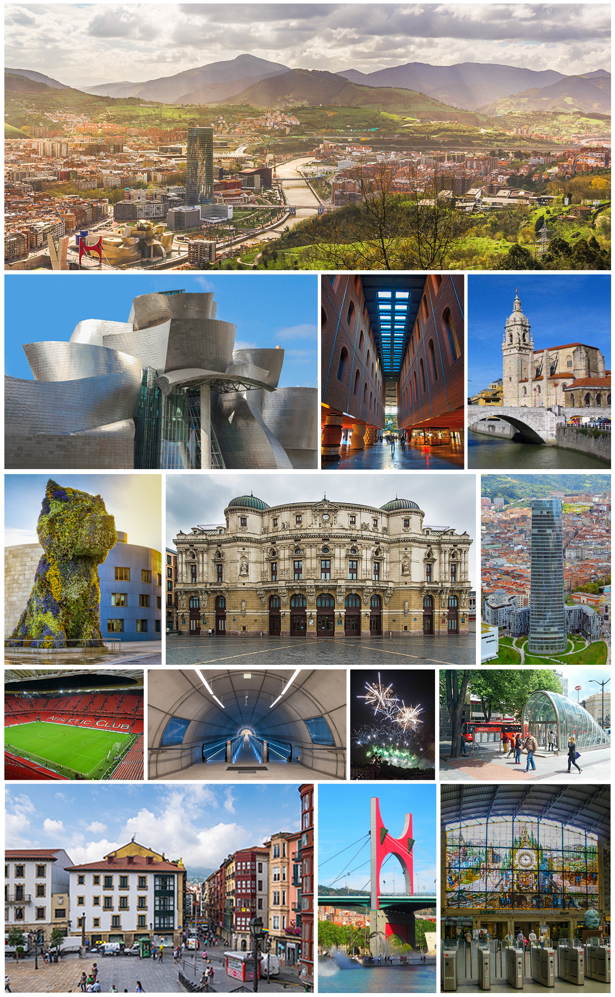
Severe storms struck Bilbao and the wider Bizkaia province in northern Spain on the evening of Saturday, October 3, 2026, flooding streets, cutting power and disrupting road and rail traffic, according to Basque regional emergency services and local news outlets.
The Basque regional weather agency, Euskalmet, raised its alert from yellow to orange for intense rainfall in Bizkaia, keeping it active until midnight before the storm moved south and the warning was lowered to yellow, due to expire at 6:00 a.m. on Sunday, October 4.
What happened in Bilbao
The Basque Emergency Center (SOS Deiak) had logged roughly 150 weather-related incidents across Bizkaia by 8:30 p.m., with 137 of them in the city of Bilbao alone, according to the Basque outlet naiz.eus and the Spanish news agency report carried by Infobae.
The worst flooding hit Bilbao's Casco Viejo (Old Town), where accumulated water reached ankle to knee height in some streets, according to eldiario.es. Residents and shopkeepers placed wooden boards at doorways to keep water out, and some people were temporarily unable to reach their homes because of the force of water running down sloped streets, naiz.eus reported.
The Arriaga theatre in Bilbao suspended a performance and evacuated the audience after a power outage, eldiario.es and naiz.eus reported. Several garages and ground-floor businesses in the city were also flooded.
Rainfall and affected areas
Rainfall figures varied slightly by source and measuring station. Naiz.eus reported 60.3 litres per square metre at the Abusu station and 60.2 at Sangroniz, while eldiario.es cited over 73 mm of accumulated rain in Bilbao and interior areas of Bizkaia. The figures reflect readings from different stations and times during the storm.
Beyond Bilbao, municipalities including Barakaldo, Basauri, Getxo, Galdakao, Sestao, Erandio and Leioa reported weather-related incidents, according to naiz.eus and Infobae. Problems were also reported in Llodio, in the neighbouring province of Álava, and in Balmaseda, within Bizkaia, eldiario.es said.
Transport and infrastructure disruption
The Avanzada road tunnels in Leioa were closed to traffic in both directions after the tunnel flooded, according to Infobae and eldiario.es. The Bilbao-Miranda railway line also had its service suspended, naiz.eus reported. Traffic lights malfunctioned in parts of Bilbao, and municipal police directed traffic manually, naiz.eus reported.
What officials expect next
Euskalmet forecast continued but lighter rain into Sunday morning, with partial clearing expected around midday and a chance of further showers inland during the afternoon, according to eldiario.es. No injuries were reported in the sources reviewed for this article.
Questions
- When did the Bilbao flooding happen?
- The flooding occurred on the evening of Saturday, October 3, 2026, with the heaviest impact reported between the afternoon and 8:30 p.m., according to naiz.eus and Infobae.
- How many incidents were recorded?
- The Basque Emergency Center (SOS Deiak) recorded about 150 weather-related incidents across Bizkaia by 8:30 p.m., of which 137 were in Bilbao itself, per naiz.eus and Infobae.
- Were there any injuries?
- None of the sources reviewed reported injuries linked to the flooding.
- What was the weather alert level?
- Euskalmet raised the alert from yellow to orange for intense rainfall in Bizkaia until midnight on October 3, then lowered it to yellow until 6:00 a.m. on October 4, according to eldiario.es and Infobae.
- Which areas besides Bilbao were affected?
- Barakaldo, Basauri, Getxo, Galdakao, Sestao, Erandio and Leioa in Bizkaia reported incidents, along with Llodio in Álava and Balmaseda in Bizkaia, according to naiz.eus, Infobae and eldiario.es.
This piece was prepared with artificial intelligence and passed an automated source check before publication. If you see an error, ask for a correction. Request a correction or reply · How we make this