Plan Before You Pack
The US National Park Service (NPS) advises hikers to check weather forecasts, read recent trail reports, and assess the terrain before leaving, then file a hiking itinerary with someone who is not on the trip and can call authorities if the hiker does not return as planned.
NPS guidance sets a specific altitude threshold for added risk: at roughly 8,000 feet, reduced oxygen raises the chance of altitude illness, which the agency describes as a potentially life-threatening condition. The NPS also tells hikers to set a turn-around time in advance, based on doubling the expected uphill travel time, so the return trip is not rushed in fading light.
The Ten Essentials and Basic Steps
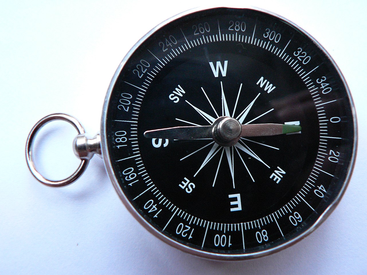
The NPS and search-and-rescue organizations such as the Mountain Rescue Association (MRA) point to a standard equipment checklist known as the 'Ten Essentials,' covering navigation, sun protection, insulation, light, first aid, fire-starting, repair tools, extra food, emergency shelter, and water. The NPS calls these items the minimum gear every hiker should carry, with additional items depending on trip length, terrain and weather.
- Check the forecast and trail conditions, and avoid rapid-rising streams and waterfalls, which the NPS warns are extremely dangerous to approach.
- Leave a written trip plan — route, start time and expected return — with someone staying behind.
- Pack the Ten Essentials, scaled to trip length and season.
- Carry enough water for the trip, identify water sources or carry treatment supplies on longer routes, and drink regularly before feeling thirsty, as the NPS advises.
- Set a turn-around time before you start, and stick to it even if the summit is not reached.
- Start with a fully charged phone, bring a portable charger, and conserve battery (airplane mode) since the NPS notes cellular coverage cannot be relied on in the backcountry.
- Carry a personal locator beacon or satellite messenger in areas without cell service, as advised by the NPS.
- Learn basic CPR and wilderness first aid before extended backcountry trips, per NPS recommendations.
The Ten Essentials (NPS)| Category | What it covers |
|---|
| Navigation | Map, compass, GPS |
|---|
| Sun protection | Sunglasses, sunscreen, hat |
|---|
| Insulation | Extra clothing layers for changing weather |
|---|
| Illumination | Flashlight or headlamp, extra batteries |
|---|
| First aid | Pre-made kit tailored to the trip |
|---|
| Fire | Waterproof matches, fire starter |
|---|
| Repair kit/tools | Duct tape, knife or multi-tool |
|---|
| Nutrition | Extra day's food, preferably no-cook |
|---|
| Hydration | Water plus treatment supplies |
|---|
| Emergency shelter | Tent, tarp or space blanket |
|---|
A Recent Cautionary Case: Relying on AI for Route Planning
In early October 2026, a 16-year-old hiker identified as Bryce Vincent Gowryluk used the Claude AI chatbot to plan a hiking route from Grouse Mountain toward Crown Mountain in British Columbia, according to reports by CTV News and AOL. The AI-generated directions led him off course, and he ended up stranded near the base of the 'Widowmaker Arete,' a roughly 1,700-foot wall that requires technical rock climbing, AOL reported.
North Shore Rescue, a volunteer search-and-rescue team, sent a helicopter and lowered two rescuers who helped bring him to a point where he could be lifted to safety, according to AOL. Search manager Paul Markey told AOL that the Claude chatbot had no actual knowledge of the specific terrain where the teenager became stranded, and said hikers should not rely on AI tools for route planning because they cannot substitute for proper map-and-compass training, experience and field decision-making.
If You Get Lost, Injured, or Stranded
The NPS advises calling 911 in an emergency and clearly stating your location, or contacting NPS dispatch at 844-460-3604 where listed for a specific park. A Mountain Rescue Association (MRA) article on its website, 'SAR Briefs Fall 2026,' describes fall and spring as 'transition seasons' when hikers can be caught unprepared by sudden weather changes and unexpected snow at elevation, underscoring the need to check conditions even on routes considered easy.
Where cell coverage is unreliable, the NPS recommends a personal locator beacon so rescuers can be alerted even without phone service, and stresses that a detailed trip plan left with someone off the trail remains one of the most effective ways to trigger a timely search if a hiker does not return.
Questions
- What are the 'Ten Essentials' for hiking?
- According to the National Park Service, they are navigation tools, sun protection, insulation, illumination, first-aid supplies, fire-starting material, a repair kit, extra food, emergency shelter, and water — the minimum gear recommended for any backcountry trip.
- How much water should I carry while hiking?
- The National Park Service advises planning water needs ahead of time, identifying water sources or carrying treatment supplies on longer routes, and drinking regularly before you feel thirsty.
- At what elevation does altitude illness become a risk?
- The National Park Service identifies roughly 8,000 feet as a threshold where reduced oxygen raises the risk of altitude illness, which it describes as potentially life-threatening.
- Should hikers use AI chatbots to plan mountain routes?
- After a British Columbia rescue, North Shore Rescue search manager Paul Markey told AOL that AI tools such as Claude have no actual knowledge of specific terrain and are no substitute for map-and-compass skills, training and field decision-making.
- What should I do if I don't have cell service in an emergency?
- The National Park Service advises carrying a personal locator beacon for areas without cellular coverage and leaving a detailed trip plan with someone not on the hike so a search can be triggered if you fail to return as scheduled.
This piece was prepared with artificial intelligence and passed an automated source check before publication. If you see an error, ask for a correction. Request a correction or reply · How we make this